

-300x200.jpg)







-300x200.jpg)



-300x200.jpg)

-300x200.jpg)






















-300x200.jpg)















Overview
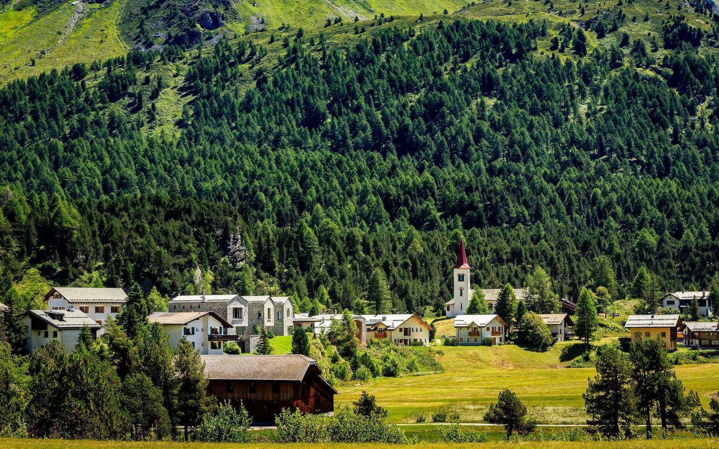
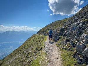
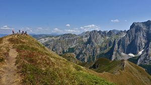
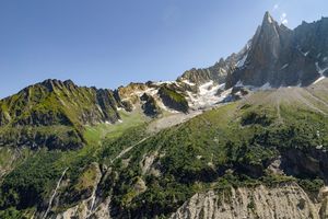
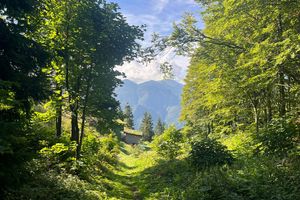
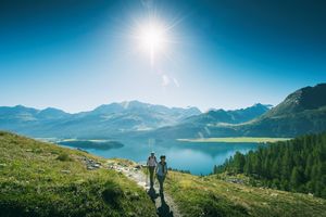
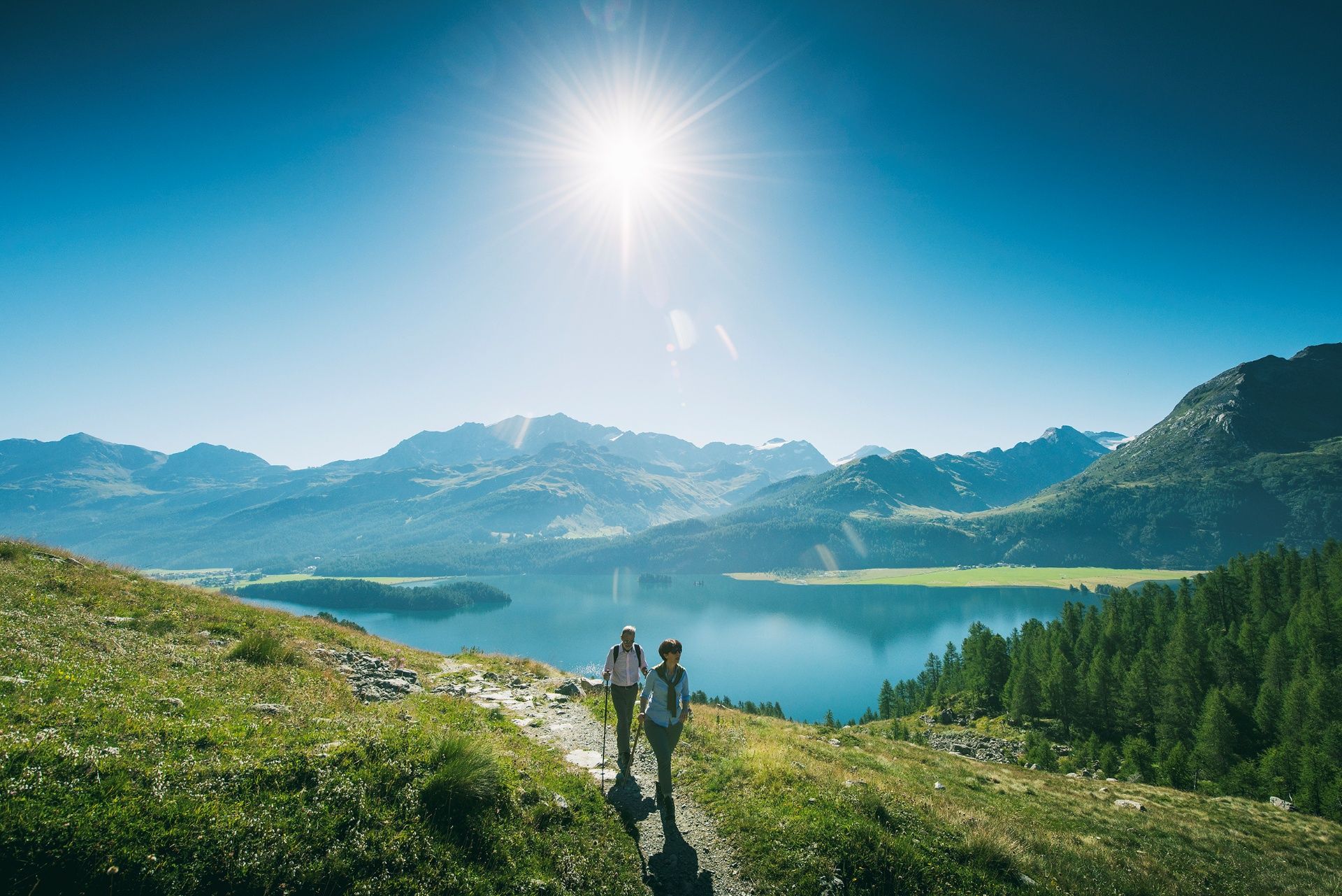
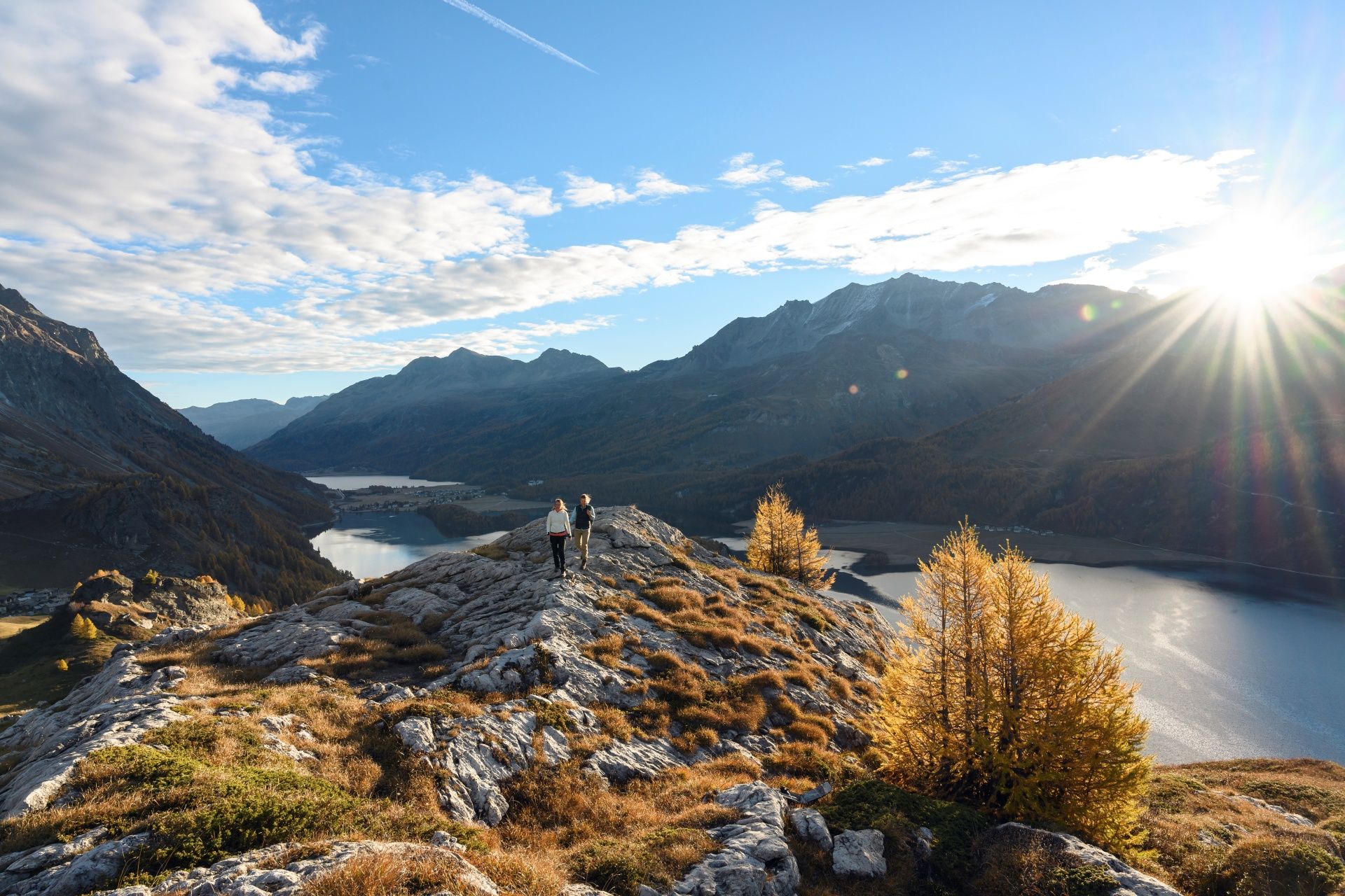
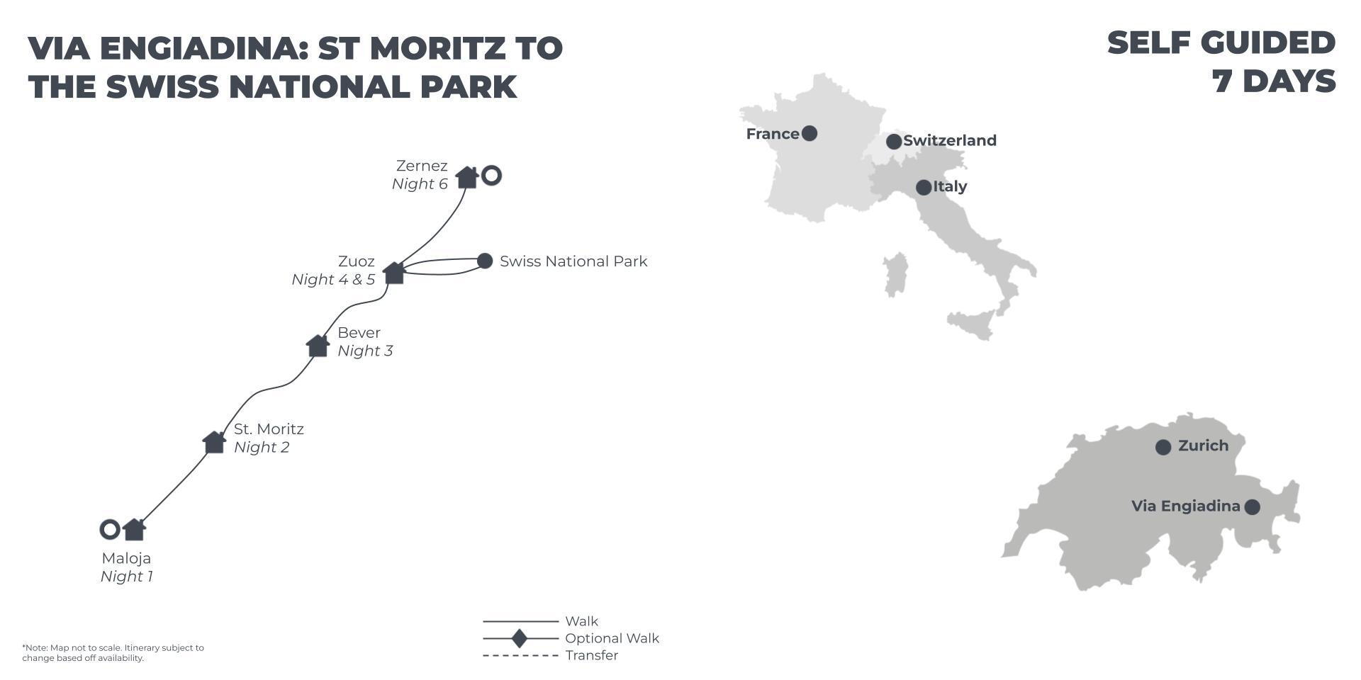
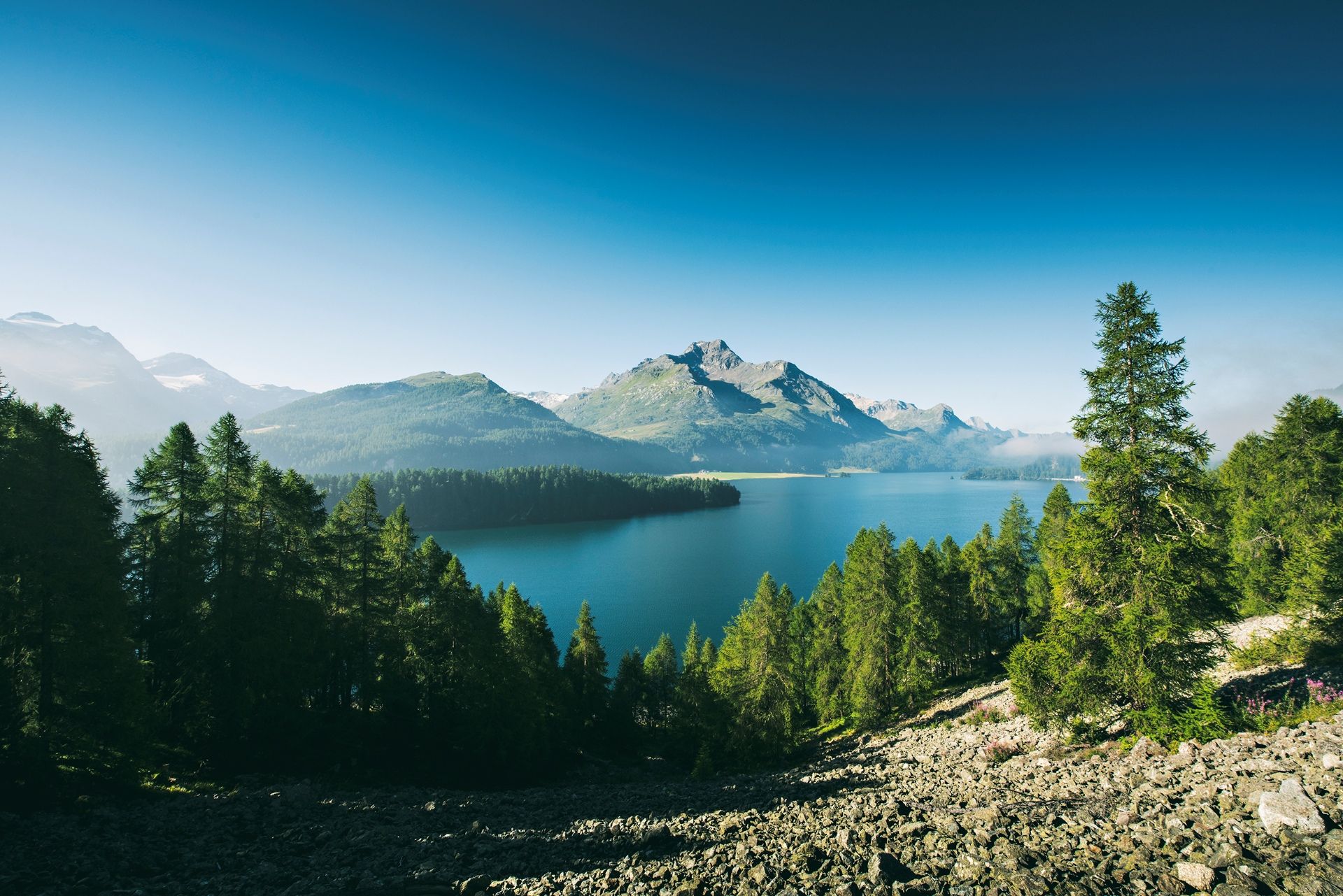
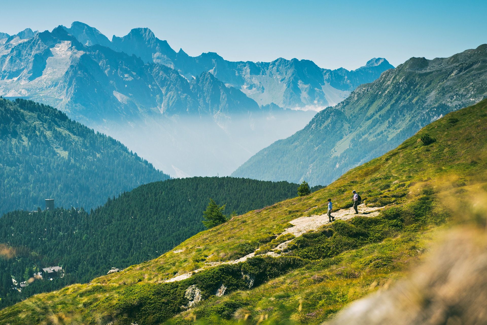
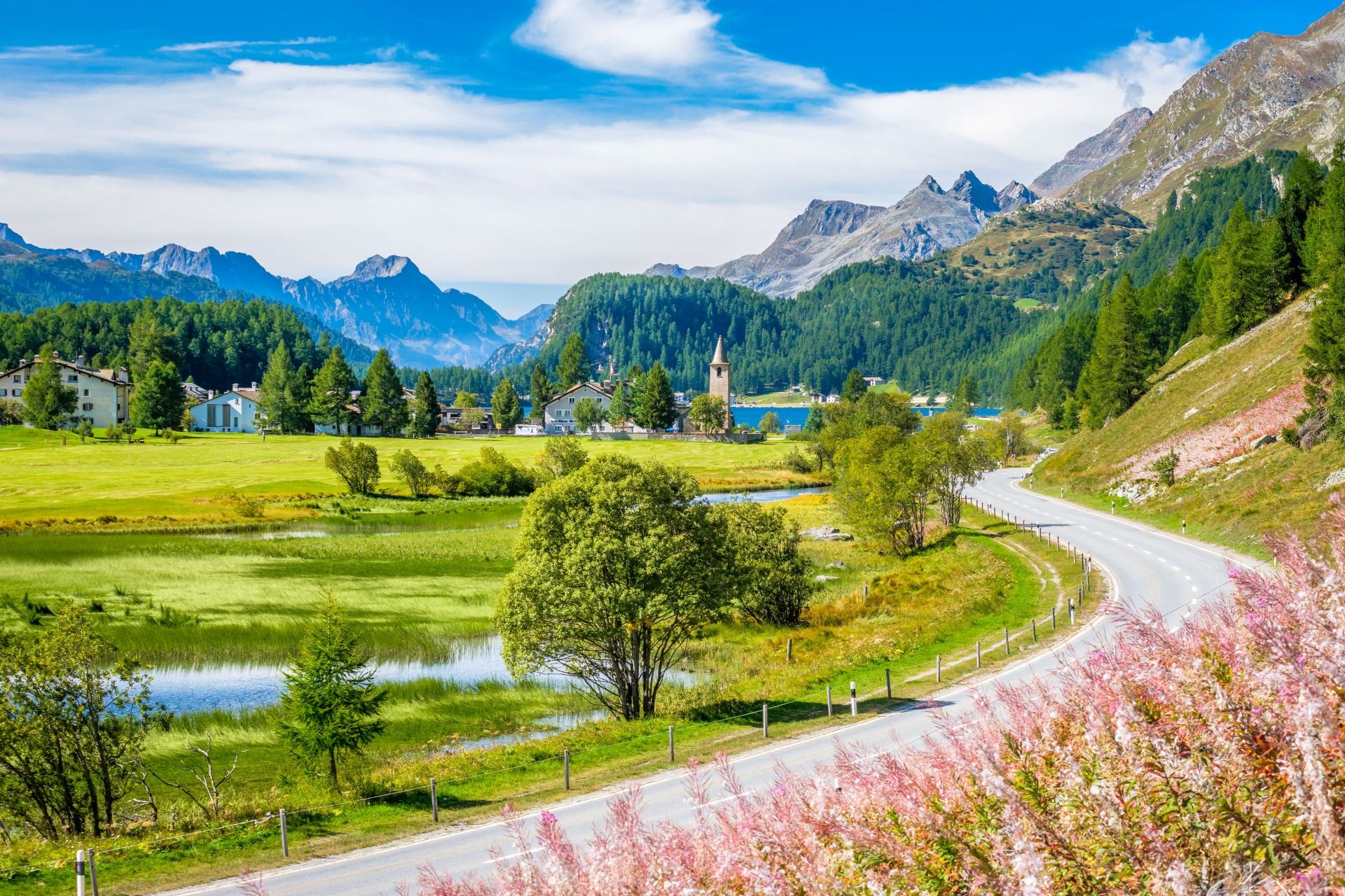
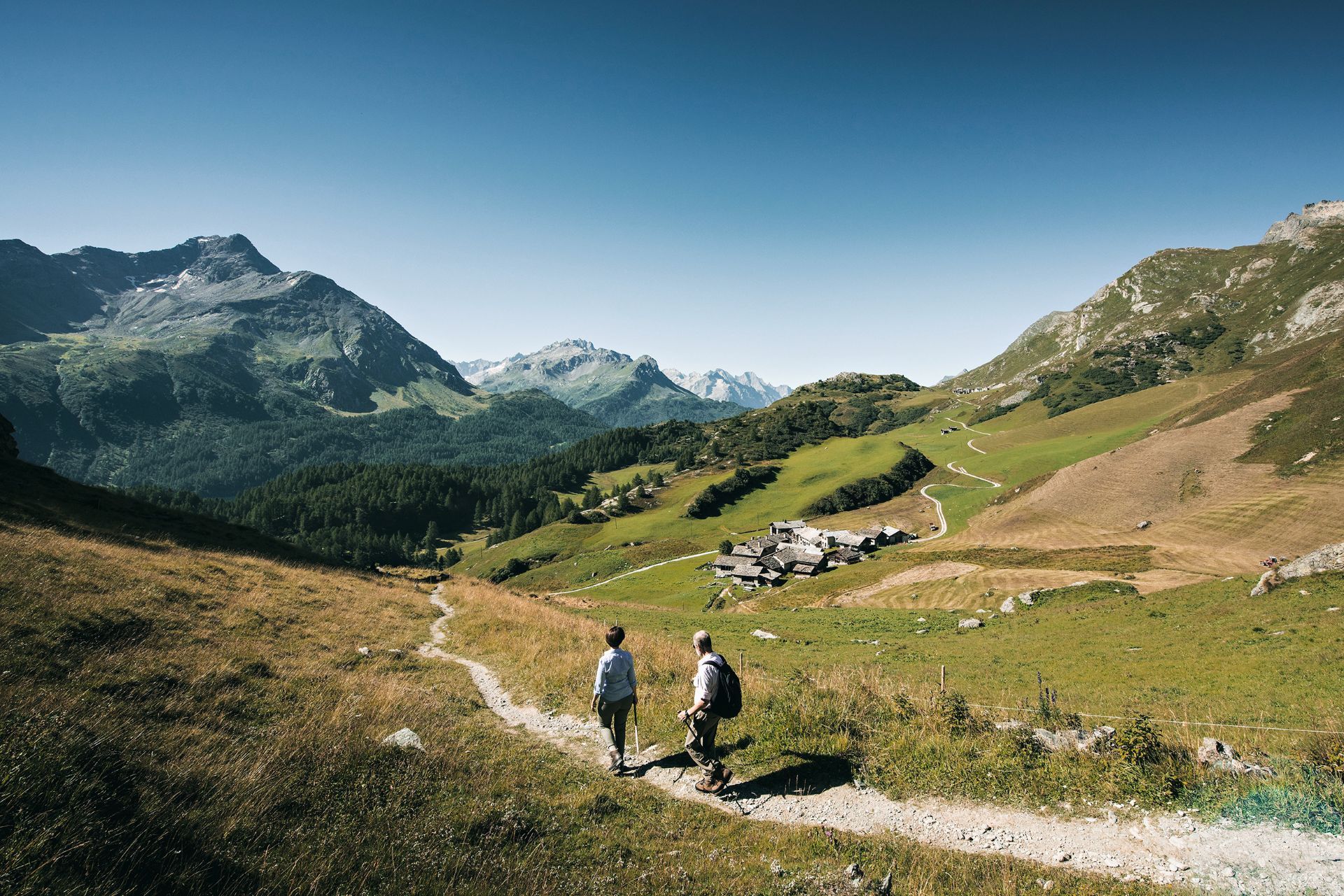
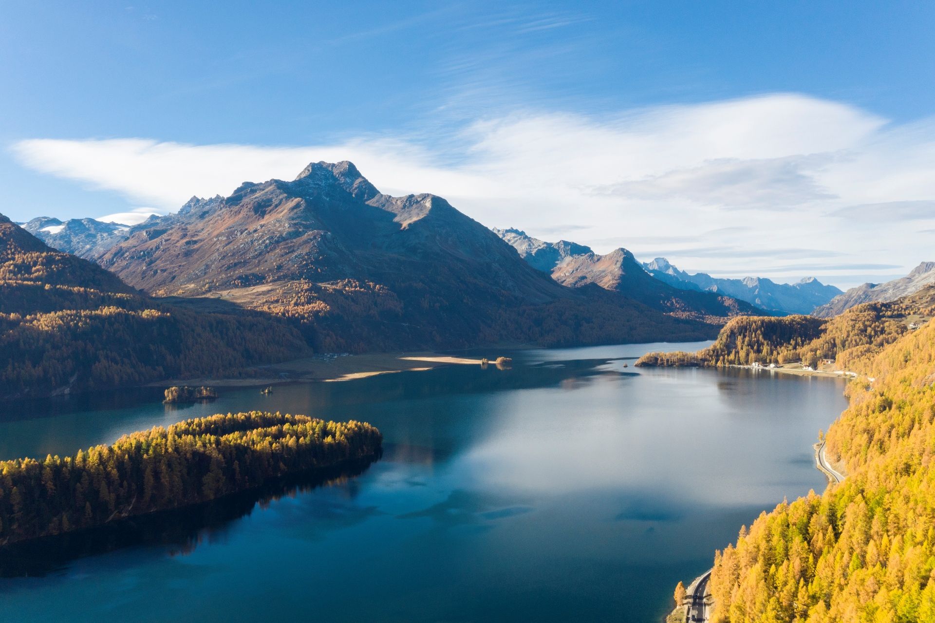
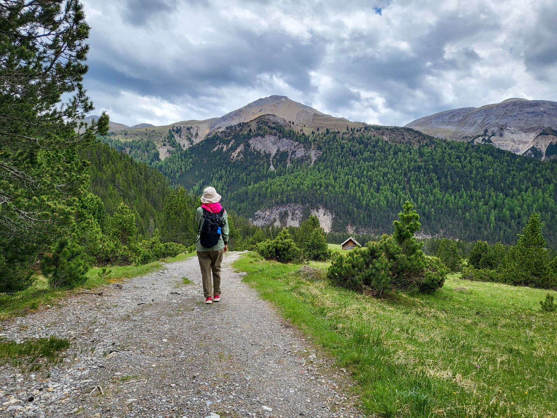
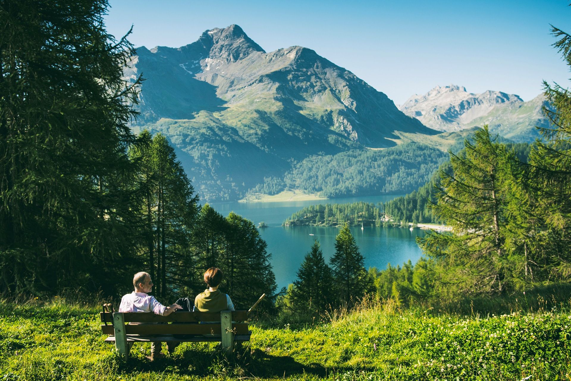
The Inn river begins its life at the Maloja Pass, fed by the meltwater of more than 800 glaciers. The Via Engiadina trail follows it east through the Upper and Lower Engadine on high mountain paths above the valley floor. Over seven days you pass the glittering lakes near Silvaplana and St. Moritz, walk through dreamy Engadine villages, and finish in Zernez at the edge of the Swiss National Park. The trail demands surefootedness and good basic fitness. Real ascents and descents come with every stage. In return, you leave the tourist centres well behind. The route threads through pine and larch forest, crosses fragrant alpine meadows, and reaches an undisturbed corner of Switzerland.
Highlights
- Walk the Via Engiadina (Route 87) above the Inn river through the Upper and Lower Engadine
- Take in sweeping views over the lakes of the Upper Engadine and the glaciers of the Bernina range
- Pass through Grevasalvas, the mountain village said to have inspired Johanna Spyri's Heidi
- Explore the Swiss National Park on a circular walk through Val Trupchun, one of the Engadine's most pristine side valleys
- Cross the Punt Ota brook, the historic boundary between Upper and Lower Engadine, on the way into Zernez
- Navigate with a full digital travel kit and SwitzerlandMobility-Plus app